Some of us involved with the monthly WNC GIS meetings have been brainstorming an idea for a contest that we hope will allow a variety of people to show off their personal projects, showcase their mapping talent, and raise awareness about important issues in the WNC area. This email is intended to provide the information needed to get you, your students, or colleagues engaged in the contest. If possible, I intend to follow-up soon with a phone call to see what you think.
Purpose and Process
The idea is for people to submit an original map product to the WNC GIS Users Group for review. A panel of map experts (your peers) will review the submissions. Initially the odds of winning are probably pretty darn good because our mailing list is not very long. In order to become eligible you must be on the WNC-GIS’s mailing list (email me, Leo Klausmann, at leklausm@yahoo.com to join). The larger goal is to develop a WNC-GIS Map Calendar for 2008. The map will be sold through any sponsors we can muster and online. Any income generated from the sales will pay for the production of the calendars and feed back into contest prizes.
The first submissions will be due May 10th, 2007. A winner will be selected during the May WNC GIS Beer Session (most likely occurring on May 24th). That will give you almost 2 months to get something together. By letting everyone get a chance to look at the various maps that were submitted, hopefully further ideas will be sparked and friendly feedback will be exchanged. Assuming the interest in the contest is there, one approach would be to move to a bi-monthly contest with a rotating volunteer "review board" of perhaps five people.
The Shiny Prizes
Every contest cycle (that is, maybe every two months) two winners will be selected, and they shall win a twenty dollar gift certificate to Malaprops Bookstore, the ego-boosting honor of seeing their map printed in the calendar, as well as a copy of the calendar.
Map Themes
Map themes will evolve around the interests of the review panel but currently there are a few guidlines.
· Some essential and dominant theme or aspect of the map ought to have a regional focus. You can include a larger map area of for example, the Southern Appalachian Region or all of North Carolina.
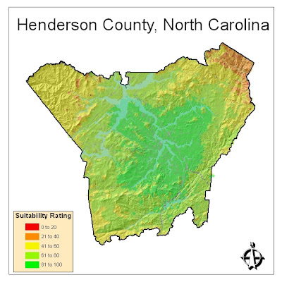
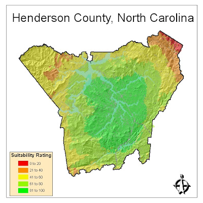
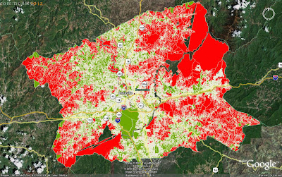
· How many times have you generated a map whose natural patterns are simply beautiful? Aerial photo patterns, elevation model patterns, soils patterns can be beautiful. If you’d like to, why not abstract them a step further to discover their full artistic potential.
· Cartoon maps or spoof maps are great. Subtle or not so subtle sarcastic maps are fine. Map puns are fine. Any kind of map humor is great. We certainly will accept conventional WNC map themes, but creativity and local/regional themes will help make you a winner.
· The eventual goal of compiling our best maps into a calendar to sold to the general public means that by submitting your map to the contest, you release copyright limitations.
For the first contest cycle, a theme (such as environmental issues, historical perspectives, urban characterization, etc) will not be specifically defined so as not to limit what people can submit. If after the maps are reviewed at the May Beer Session meeting, we all want to decide on a theme for next time, then that theme will be announced.
How do you Submit your Map?
Export your map to a PDF file (very easy to do in ESRI products) and set your DPI to about 300. The filesize of maps varies widely, often because complex rasters or photo material can take up lots of disk space. If your map turns out to be about 10MB or less, then just email it to me, Leo Klausmann, at leklausm@yahoo.com. We want the submitted maps to be of high resolution so that we may easily scale them to fit our calendar, so if your map filesize turns out to be larger, just contact me and we’ll work out a way to transfer it, perhaps by CD-ROM. We hope to bring printed versions of the all the maps to the May Beer Session for all to see. Do keep in mind that people have a range of skill levels and experience, so the maps don’t have to be cartographically perfect.
A Final Word
The organization of this Map Contest so far has been the result of a few brainstorming sessions. The contest is likely to evolve as more people become interested. If you have any ideas on how we could organize it differently, we are more than open to suggestions.

